


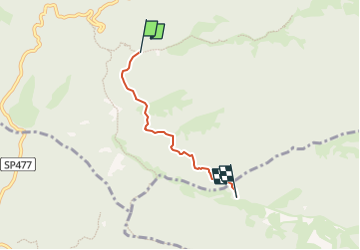

22 km | 35 km-effort


Tous les sentiers balisés d’Europe GUIDE+


Application GPS de randonnée GRATUITE
 SityTrail
IGN / Instituts géographiques
SityTrail World
Le monde est à vous
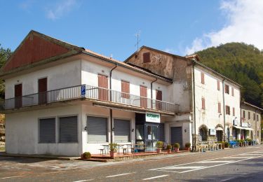
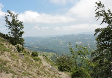
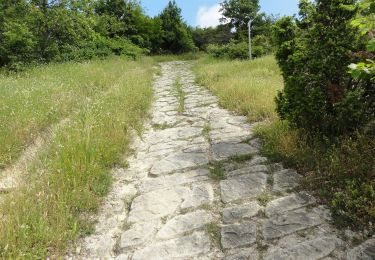
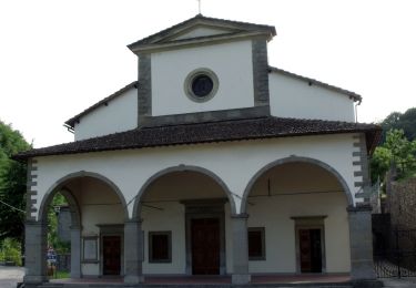
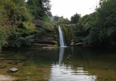
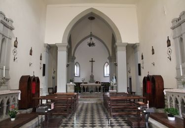
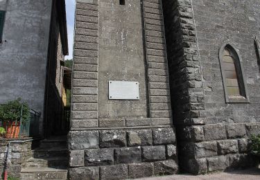
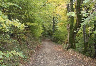
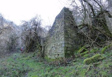
Randonnée A pied de 3,3 km à découvrir à Toscane, Firenze, Palazzuolo sul Senio. Cette randonnée est proposée par SityTrail - itinéraires balisés pédestres.
Randonnée créée par CAI Faenza.
Relation maintened by Gabriele Sani (CAI-FA)
Symbole: 581 on white red flag
Site web: http://www.caifaenza.it


A pied
A pied
A pied
A pied
A pied
A pied
A pied
A pied
A pied